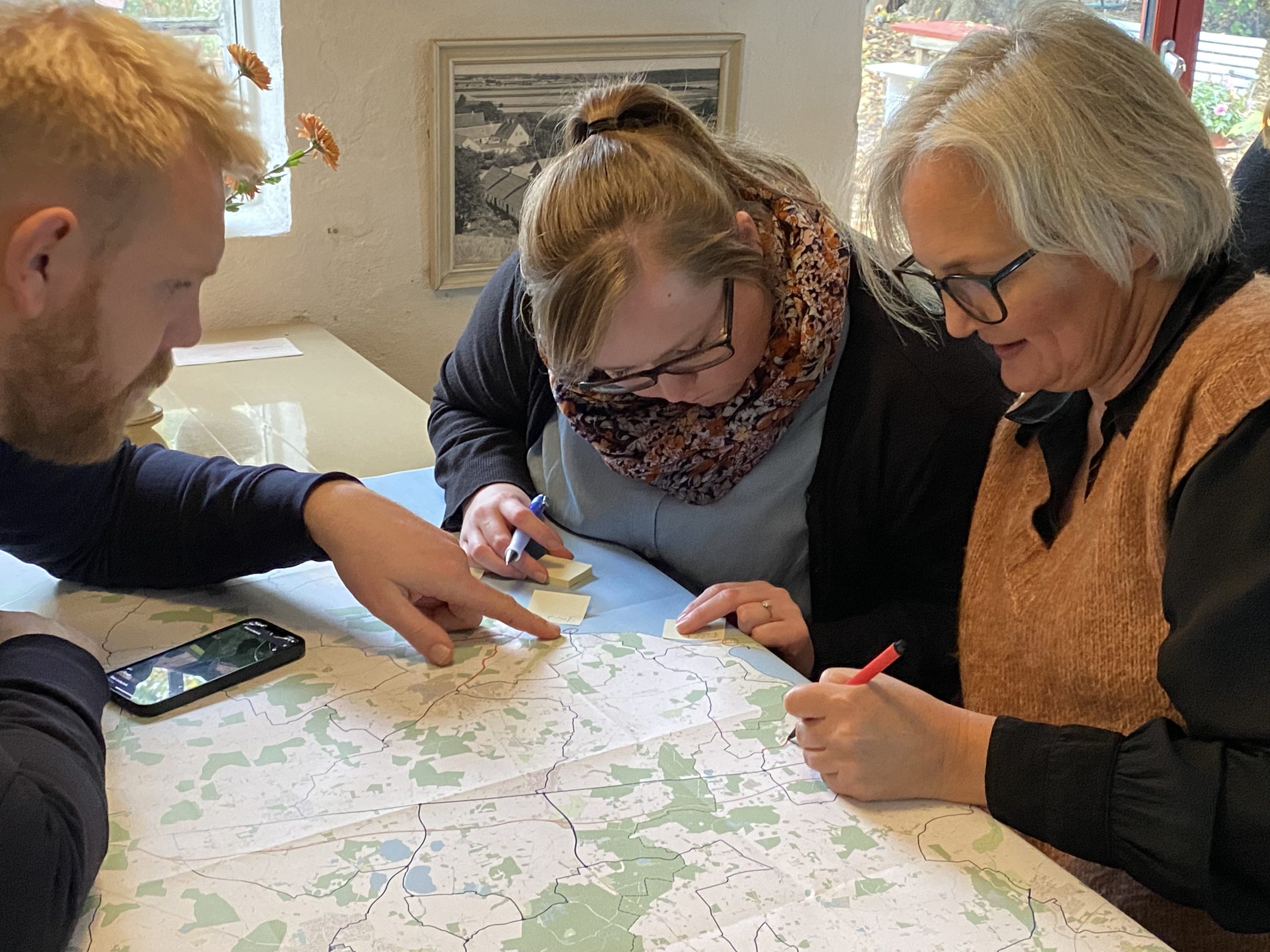
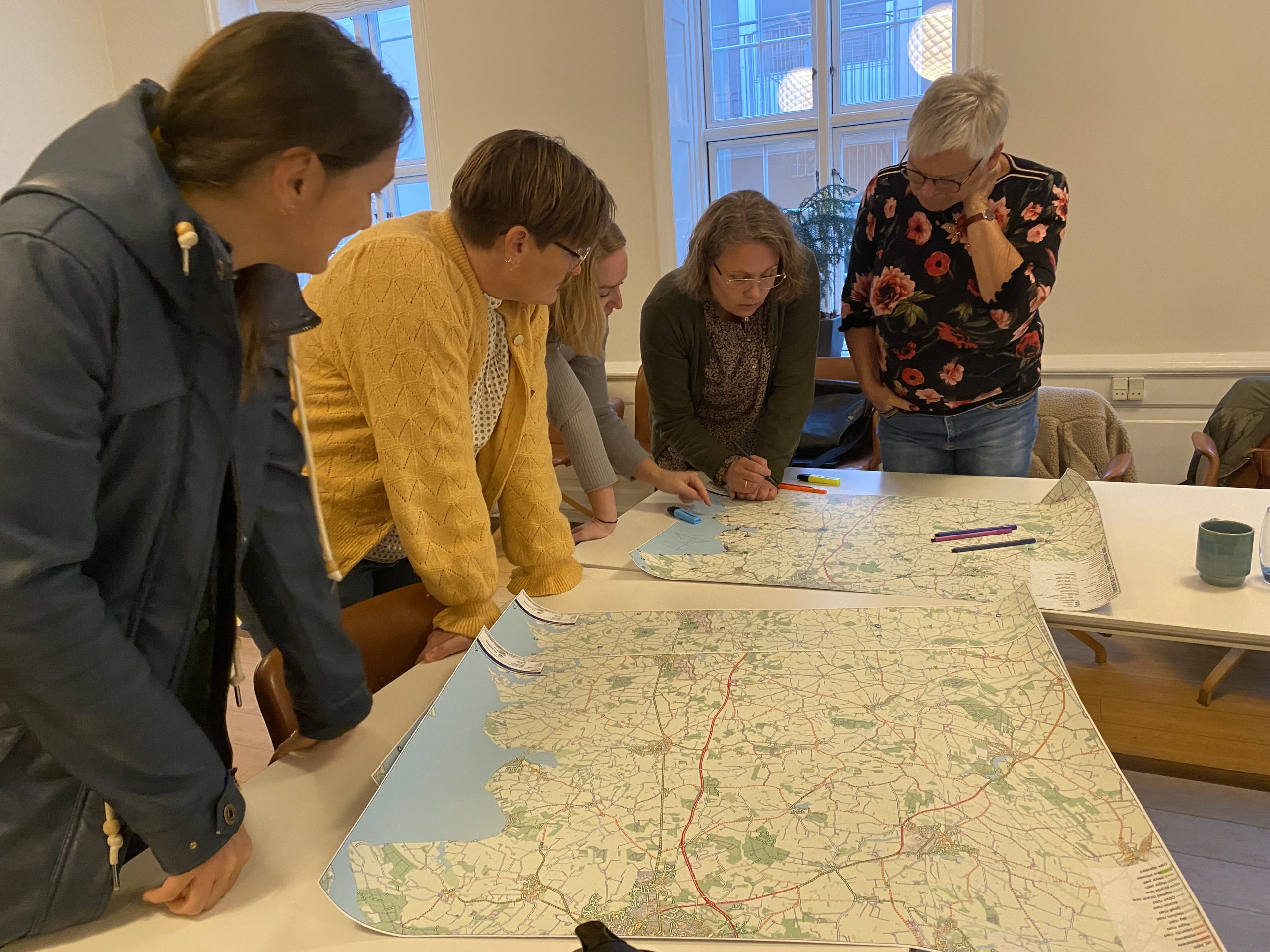
In 2022, we joined forces with Dutch company Mobycon and Danish company NIRAS to design a cycling junction network in Denmark. Commissioned by Dansk Kyst- of Naturturisme (DKNT, Danish organisation for coastal and nature tourism), we started working with the three parties to design such a network. From executed projects in the Netherlands, Belgium and Germany, we brought a lot of experience to beautiful Denmark.
DKNT sees great potential for strengthening cycle tourism in Denmark. Partly due to climate change, Denmark expects huge growth in the number of tourists in the coming years. Moreover, a change of preferences is taking place among tourists. Instead of the flow of tourists to southern Europe every year for the beach and heat, certain groups of tourists increasingly value nature, activities and tranquillity.
Denmark has invested in basic cycling infrastructure in recent years in the form of cycle paths, routes and signs, but they still see a lot of catching up to do in this compared to other European countries. The vast majority of the network of cycle paths/roads in Denmark is built to get from A to B. Many of the routes are therefore less attractive for the tourist on a bicycle who wants to take a pleasant bike ride.
With the help of a cycle junction system, people can plan their own cycle tours and tour operators can offer travellers
Approach
In Denmark, we followed the following process:
-
Selecting and connecting key locations
Using data from Denmark, our internal GIS department set up a basis for a geographical file collecting important locations that are unlocked in the cycle junction system. These include the following locations:
-
Nature reserves
-
Towns and villages
-
Tourist information points
-
Toilets
-
Points of Interest; places of interest and high lights
-
Selecting suitable roads and paths
After selecting all important locations, we added the road data to the geographical file. This road data was collected by a local party Septima. To select suitable roads and paths, we assessed the data in the following way:
– Is there a cycle path present?
– How fast is driven on the road?
– What is the surface of the road or path?
-
Use data from existing cycle routes
After filtering suitable paths and roads from the road data, there is another useful way to see which are attractive paths for a cycling network. Denmark has a number of (long-distance) cycling routes which we add to the geographical file.
-
Attaching a value to the selected roads and paths
After the first three steps, a starting network structure is already in sight. To make choices between different roads and paths, it helps to attach a value to them. We have done this using the CROW principles.
-
Property
The roads and paths on which the cycling junction system routes are planned are managed by one or the other. To make it clear who the owner is and where permission may have to be asked, we put the route lines on a file with ownership data.
-
Building a network structure
The network structure is final which in the sixth step allows us to generate a node at every place where more than two lines meet. Each node is given a unique number between 01 and 99.
-
Workshops and input municipalities


