In the southernmost part of our country, we are working on the realisation of the walking junction network. At the beginning of 2023, we started collecting existing walking routes in South Limburg. Many municipalities in the area had walking routes marked with coloured posts. This system is now being replaced by the walking junction system.
The collected routes form the basis for the new network. By connecting these routes and also opening up key hotspots, public transport locations and places of interest, a network structure was created. The networks were then further developed into a final design in close collaboration with the municipalities and stakeholders such as land and nature managers.
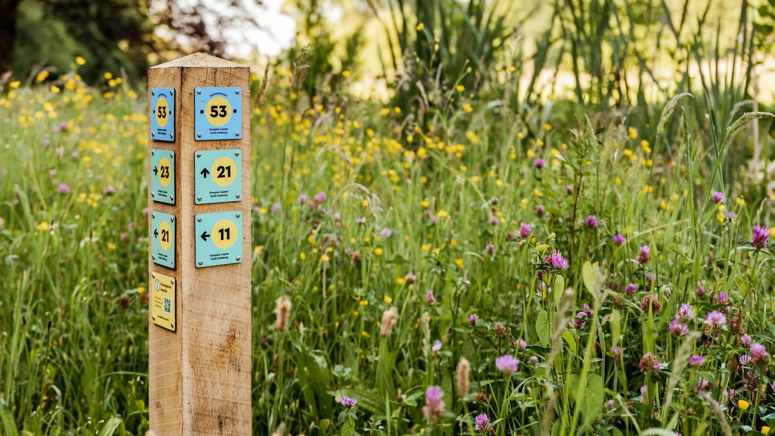
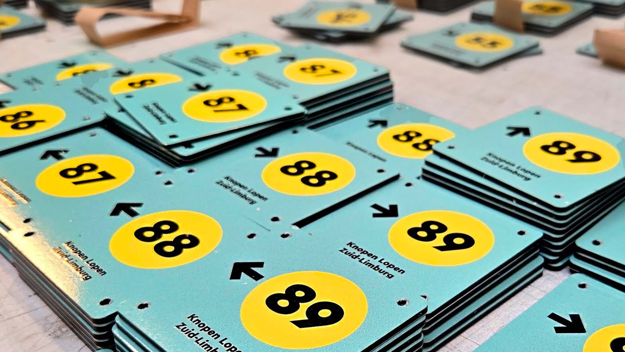
After the design was approved, our employees surveyed the entire network in the field. All sign locations have been recorded in the online route management system C-tip. We have given all municipalities access to the data in the system so that they can view and assess the survey in an easy and accessible way.
Since April 2025, our company has been working on the construction of this walking junction network. We started in the north, in the municipalities of Stein, Sittard-Geleen and Beek. We are then working clockwise towards the east and south, ending in the west in the municipalities of Meerssen and Maastricht. At the time of writing, we are working in the beautiful municipality of Gulpen-Wittem. The implementation has been running smoothly so far and we are receiving a lot of positive comments. The hiking junction network will be 1800 kilometers long!
We are carrying out this assignment on behalf of Visit Zuid-Limburg and the sixteen participating municipalities.